
Multi-sensor fusion
Radar, lidar, camera and drilling observations form a shared terrain picture.
A command needs 4 to 24 minutes to arrive, terrain is unmapped, dust and radiation wear hardware down, and every mission still sends raw sensor data home for analysis. MARSBOTS addresses all of it: robots that perceive, plan and work on board, so a fleet keeps exploring and building while Earth is out of reach.
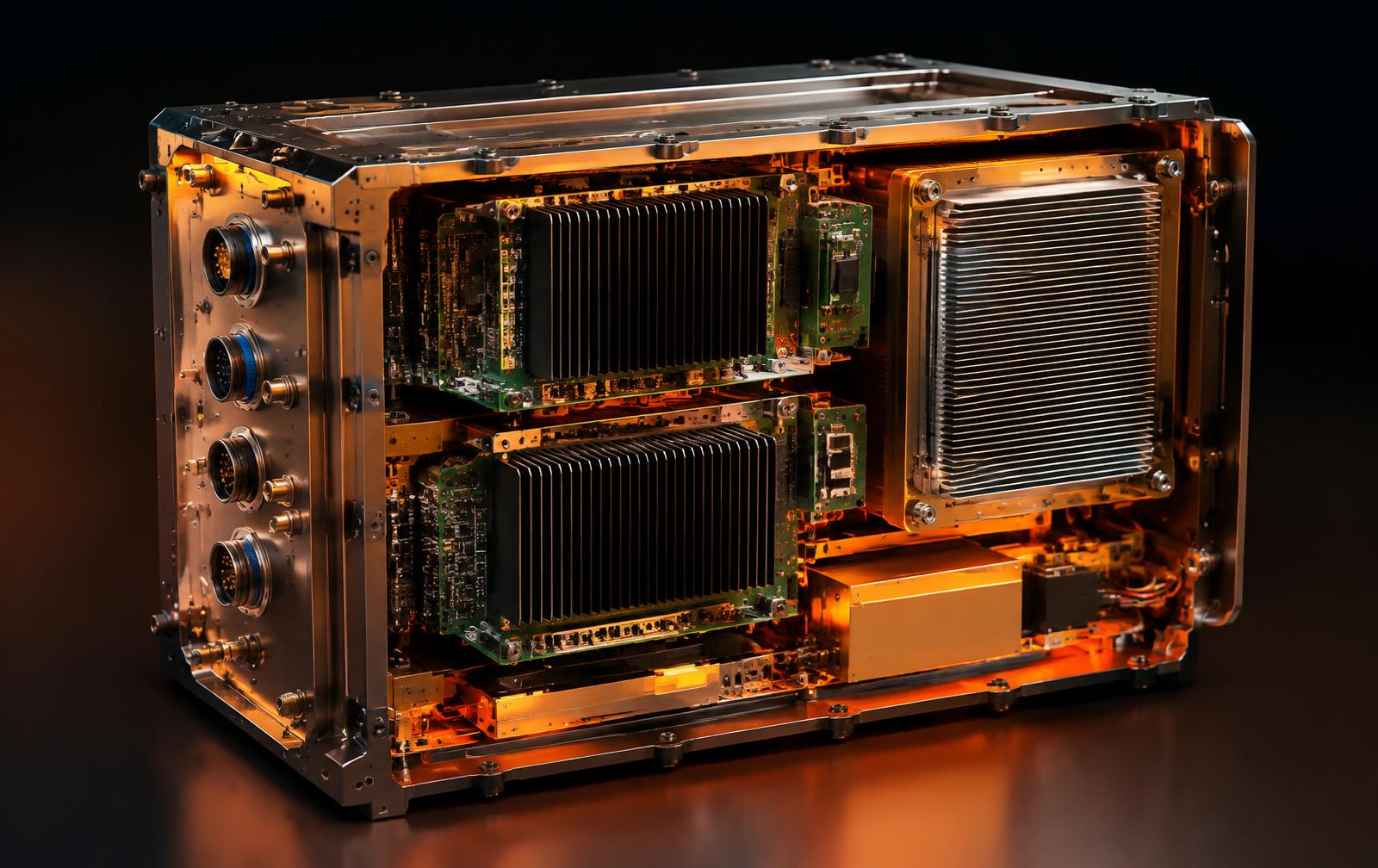
One robotics platform for exploring, excavating and building on Mars — terrain perception, autonomous task planning, fleet coordination and explainable reporting back to mission control.
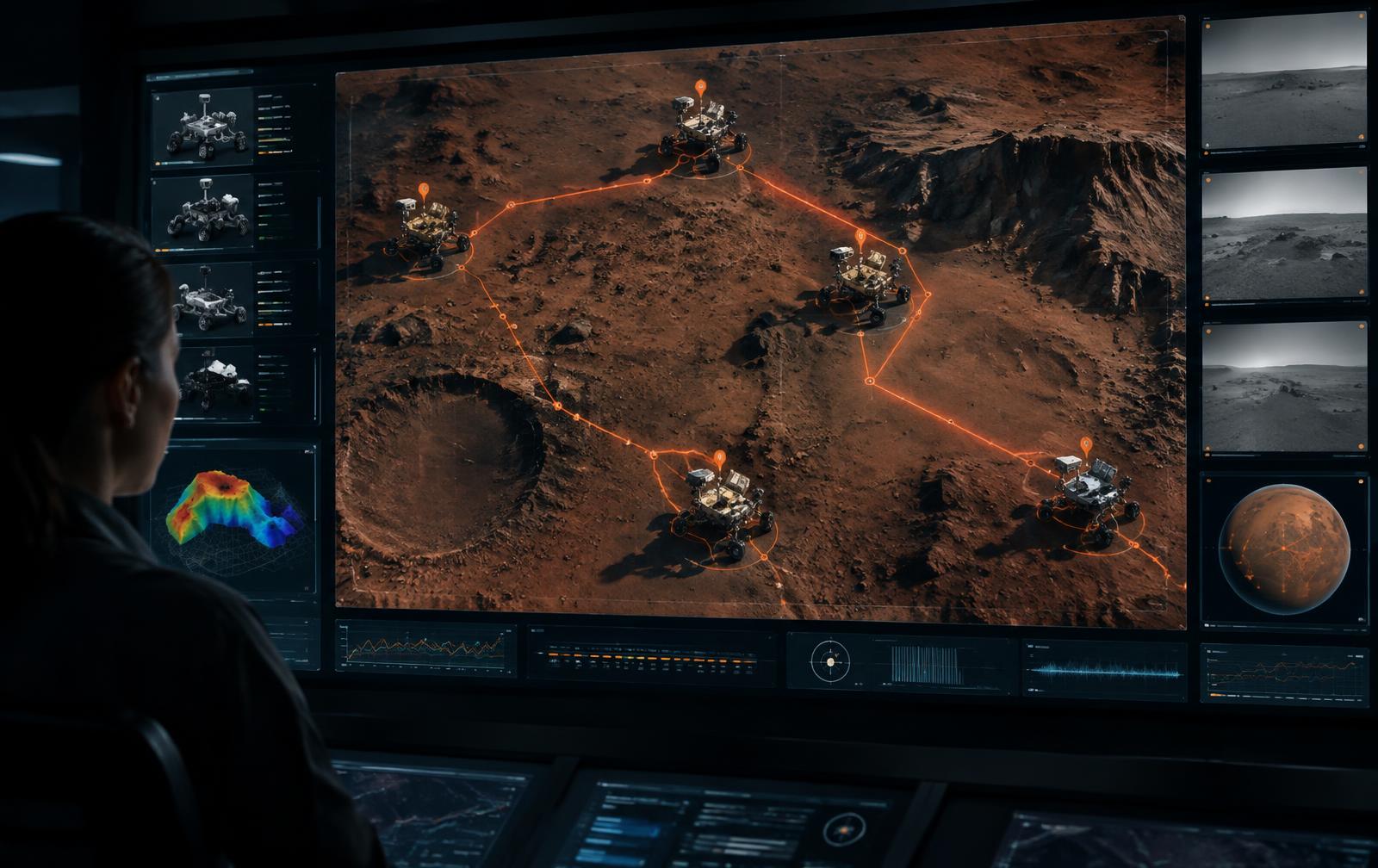
We are developing MARSBOTS as an intelligent robotic system that fuses multi-sensor data on board, reads the terrain around it and decides its next task without waiting for Earth.
From collecting data to getting work done.
Radar, lidar, camera and drilling observations form a shared terrain picture.
Information is assessed where it is generated instead of relying on continuous data transmission to Earth.
Hazards and relevant events are identified and prioritized close to the sensor.
Robots can exchange observations to support coordinated analysis across a fleet.
Decision-relevant intelligence is transmitted first, rather than sending every raw observation.
Sensor data is fused, understood and acted upon directly on the robot — only decision-relevant results are relayed back to Earth.
Camera · Lidar · Radar · Ground radar onboard
Fusion · Terrain analysis · Hazard detection
Route · Task · Prioritization
Drive · Dig · Assemble · Report
Autonomous robots need both: AI evaluates sensor data on board and decides what to do, while physics-based terrain, traction and structural models anchor every action and keep it verifiable on Earth.
Physics
Terrain mechanics
Traction and load models
Validation of onboard results
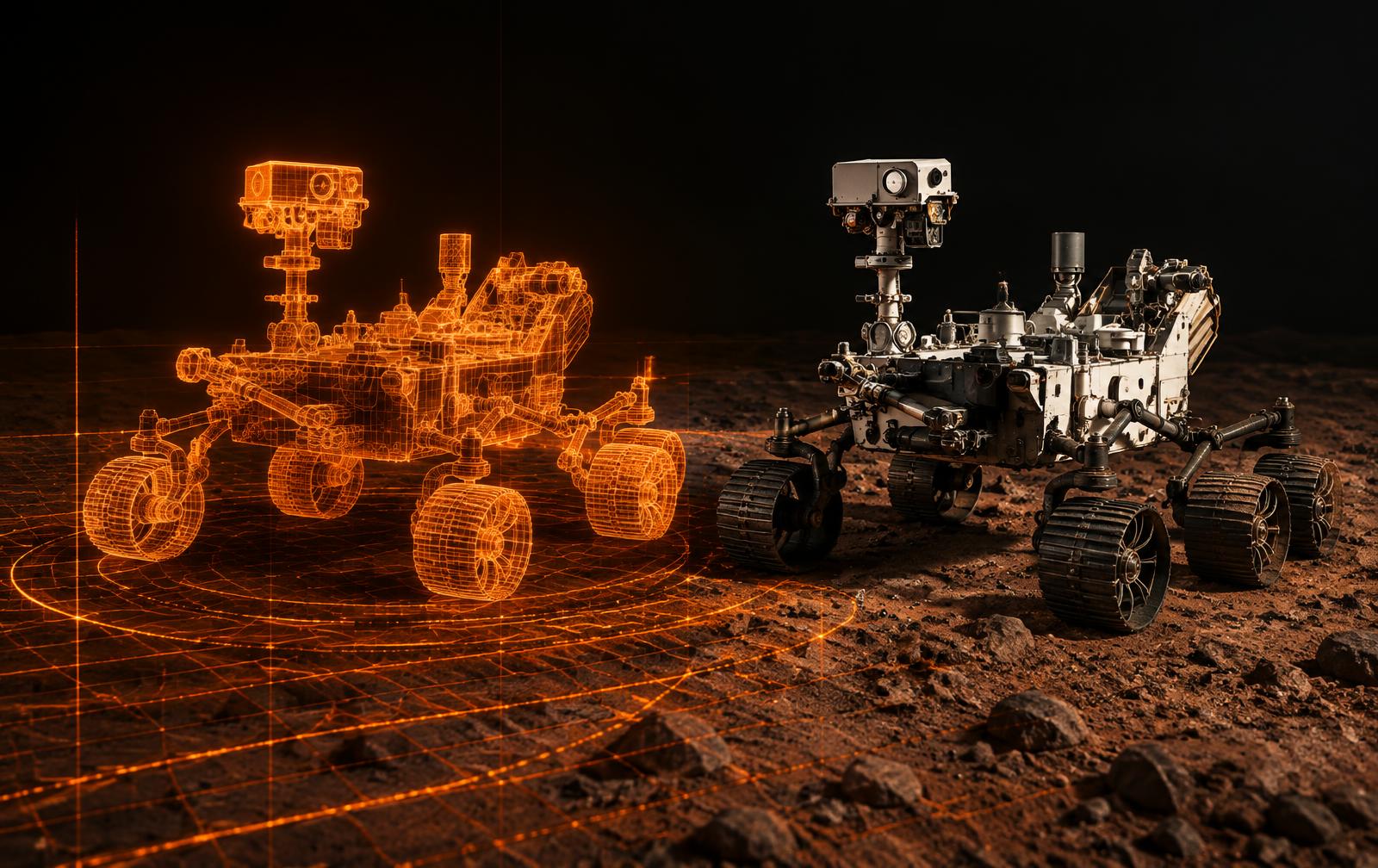
AI
Onboard processing
Hazard detection
Autonomous task selection
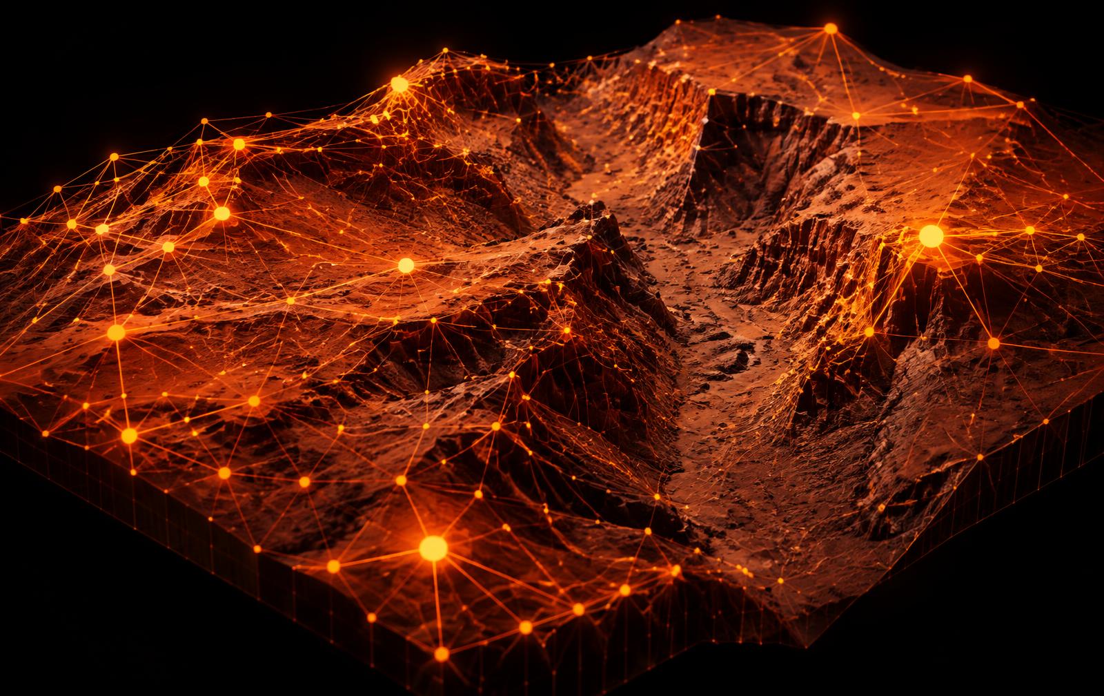
Mars Robotics Intelligence
An autonomous robot only earns trust when every onboard decision stays traceable: each manoeuvre and each excavation carries its sensor basis, its confidence and a physics-based check on Earth before it becomes a standing instruction.
AI makes the decision. Physics validates it.
Physics-based validation
On-board results validated on ground
Explainable risk assessment
Confidence scoring per detected event
Human-in-the-loop decisions
Audit trails for onboard decisions
Multi-sensor cross-validation on the surface
Continuous model validation
Redundant data sources and links
Raw data retained for later review
Deploy robotic precursor missions and monitor fleet health across active Mars programs.
Scale autonomous surface operations across large robot fleets.
Prepare habitat and infrastructure assembly ahead of crewed missions.
Independent surface intelligence and decision support for Mars exploration.
Planned interfaces include APIs, alerts, webhooks and data feeds for mission-control systems. Public production availability is in development.
Surface robotics is the current core. Subsurface, atmosphere, Mars orbit and habitat operations are the next applications of the same autonomy architecture.